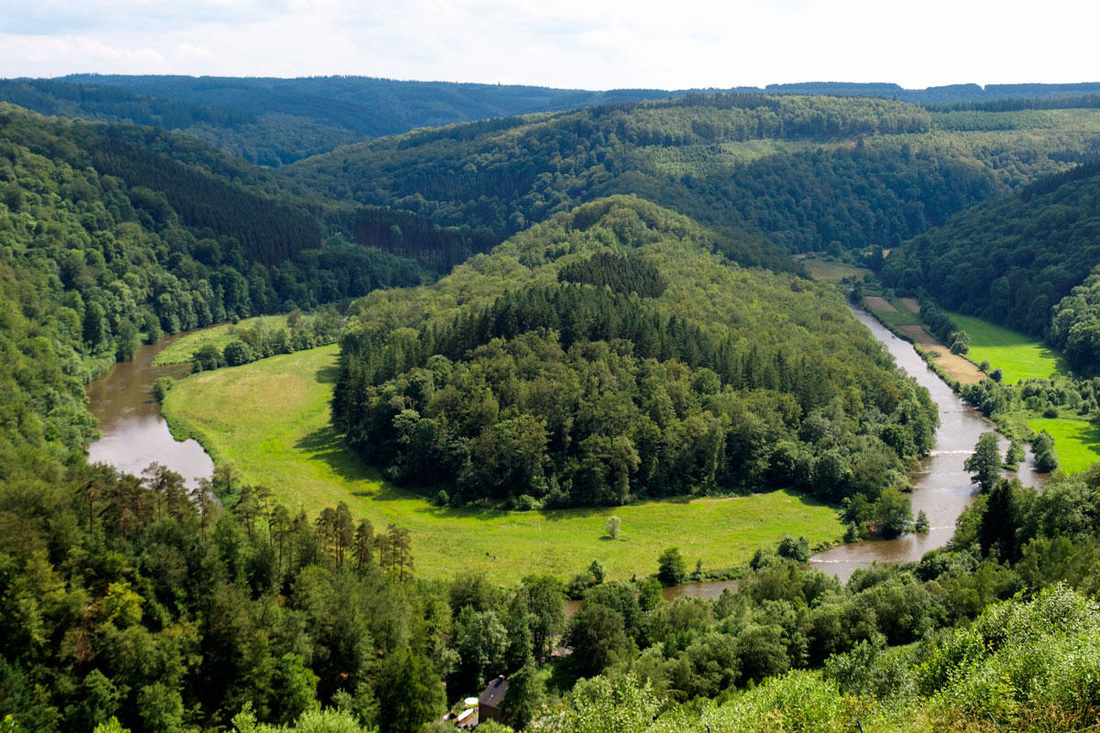
The Ardennes mountains are stretching from the northeast-southwest direction. In the south the elevation ranges from 1,150-1,640 ft where as the northern parts elevation ranges from 655-985 ft. At the northern parts of the Ardennes, the land is mostly used for farming and in the southern parts the land is mostly bogs and rivers. Ardennes has one of the lowest population densities, but it is located in the middle of high population density areas. The Ardennes were used as a battle ground in both world war I and world war II (1914, 1918, and 1944).
"Ardennes." Http://www.britannica.com/place/Ardennes-region-Europe. N.p., n.d. Web. 27 Sept. 2015.
"Ardennes." Http://www.britannica.com/place/Ardennes-region-Europe. N.p., n.d. Web. 27 Sept. 2015.
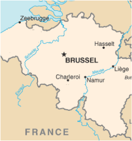
The two major rivers in Belgium are the Schelde also known as the Escaut and the Meuse also known as the Maas. Both of the rivers start in France an flow east through Belgium. Both rivers also drain into the North Sea.
"Belgium." Http://www.nationsencyclopedia.com/geography/Afghanistan-to-Comoros/Belgium.html. N.p., n.d. Web. 27 Sept. 2015.
"Belgium." Http://www.nationsencyclopedia.com/geography/Afghanistan-to-Comoros/Belgium.html. N.p., n.d. Web. 27 Sept. 2015.
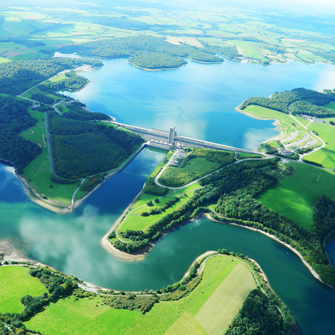
Lake Eau d'Heure is the biggest lake in Belgium. The lakes location is near the border of France in the area of Wallonia. The large lake is used for many recreational activities.
"Lakes in Belgium." Http://traveltips.usatoday.com/lakes-belgium-103882.html. N.p., n.d. Web. 27 Sept. 2015.
"Lakes in Belgium." Http://traveltips.usatoday.com/lakes-belgium-103882.html. N.p., n.d. Web. 27 Sept. 2015.
